On this page
Palo Alto sits between two very different landscapes. To the east, salt marsh and levees run out to the bay, flat and full of birds. To the west, oak-studded foothills climb toward Skyline Boulevard, where open ridges look over the Pacific on clear days. Most visitors only see the town in between. This plan uses a weekend to cover both edges, with one bike ride, three walks and a sunset at the top.
Day 1 stays close to town and needs little more than a bike or a short ride. Day 2 heads into the hills and needs a car. All of it suits fit beginners. The longest hike is optional. For more trail choices, see our guide to the best hikes in and near Palo Alto.
The weekend at a glance
| When | Where | Effort |
|---|---|---|
| Day 1, 8 a.m. | Baylands Nature Preserve bird walk | Easy, flat |
| Day 1, 10 a.m. | Bay Trail bike ride to Shoreline | Easy, flat, often windy |
| Day 1, 2 p.m. | The Stanford Dish loop | Moderate, steep in places |
| Day 2, 8 a.m. | Foothills Nature Preserve | Easy to moderate |
| Day 2, afternoon | Russian Ridge or Windy Hill on Skyline | Moderate |
Day 1 morning: the Baylands
Be at the end of Embarcadero Road when the Baylands Nature Preserve opens at 8 a.m. Its 1,940 acres of marsh and levee are free, with free parking. Walk the boardwalk from the Lucy Evans nature center about a quarter mile out to open water, then loop along the levees. From late fall through early spring the ponds fill with ducks and shorebirds. On the highest winter tides, marsh birds such as the endangered Ridgway's rail are pushed into view. Early morning is the best time, before the wind picks up.
Bring binoculars and a layer. Dogs are allowed on leash except on the Renzel Ponds trails. The nature center keeps short, seasonal hours, so call 650-329-2506 before counting on it.
Day 1 late morning: a Bay Trail ride
From the Baylands, ride south on the San Francisco Bay Trail past Byxbee Park and into Shoreline at Mountain View. It is flat the whole way, a few miles each direction, on gravel levee in Palo Alto and paved path at Shoreline. Any bike with reasonable tires handles the gravel when dry. Expect a headwind on most afternoons, so ride out early and let the wind push you home. Helmets are required in the preserve and the speed limit is 15 mph.
Palo Alto has no bike share. The Bike Connection at 2011 El Camino Real rents bikes and takes reservations on its website. Our guide to bike shops and outdoor gear lists the alternatives. Road riders can also try the popular Portola Loop through Portola Valley. See our biking guide for routes.
Day 1 afternoon: the Dish
After lunch, head to the Stanford Avenue gate at Junipero Serra Boulevard for the Dish. The main loop is about 3.5 miles on paved service roads with several steep climbs and a high point around 526 feet. Most people finish in 1 to 1.5 hours. There is almost no shade. Stanford sets hours by month. In November and December the area opens at 6:30 a.m. and closes at 5 p.m., so start by 3:30 p.m. this time of year. From April through August it stays open until 7:30 p.m. The area can close during red flag fire weather, so check Stanford's Dish page on the day.
Dogs, bikes and drones are banned. Street parking near the main gate fills early on weekends, which is one more reason to go in the afternoon. Walk the loop clockwise from Stanford Gate if you prefer to take the longest climb early, then enjoy the long views over campus, Hoover Tower and the bay on the way down. The radio telescope that gives the area its name still sits at the top and is used for research, so the fenced areas are off limits.
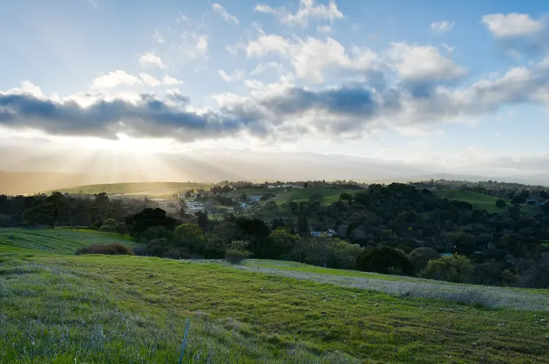

Day 2 morning: Foothills Nature Preserve
Drive up Page Mill Road to Foothills Nature Preserve, about 1,400 acres of oak woodland, chaparral and grassland with about 15 miles of trails. It opens at 8 a.m. and charges $6 per vehicle for up to nine passengers. City code caps the number of people inside at 600 and lets the city set a lower limit. On busy weekends the gate closes until people leave, so arrive at opening.
Boronda Lake is the first big sight inside the gate. A good first loop combines the Toyon, Woodrat and Chamise trails to reach the lake, Vista Hill and Arbolejo Overlook. On clear days Vista Hill looks across the bay to Mount Diablo and Mount Tamalpais. Swimming is not allowed, but you can paddle a canoe or kayak with life jackets. Dogs are allowed on leash on weekdays only, never on weekends or holidays.
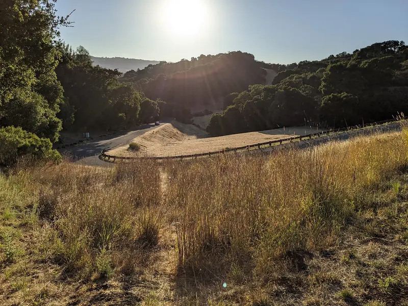

If Foothills is full, Pearson-Arastradero Preserve is a free alternative lower on Arastradero Road, with grassy hills, oak woodland and leashed dogs welcome.
Day 2 afternoon: a Skyline hike
Continue up Page Mill Road to Skyline Boulevard, about 30 minutes from downtown. Pick one of two ridges. Both are run by the Midpeninsula Regional Open Space District, charge no entry fee and stay open until half an hour after sunset.
Russian Ridge
The main lot sits at the northwest corner of Skyline and Page Mill/Alpine Road with 37 spaces. Follow the Bay Area Ridge Trail north toward Borel Hill, which Midpen calls the highest named point in San Mateo County, for a 360-degree view of the bay and the ocean. Dogs are not allowed. Our Russian Ridge guide has loop options. Across Alpine Road, the Daniels Nature Center at Skyline Ridge opens on weekends until mid-November.
Windy Hill
From the Skyline side, a short trail runs about 0.6 miles between roadside parking areas with side paths to the summit. The full 7.2-mile loop from Portola Road is a bigger morning outing. Leashed dogs are allowed on designated trails. See our Windy Hill guide.
Time it for sunset. On clear fall evenings the sun drops into the Pacific. In summer, fog often fills the coast side. Bring a headlamp and a warm jacket, since the ridge is cooler and windier than town.
Logistics
- Car. Day 2 needs one. If you came by train, compare one-day rentals and pick up near your hotel.
- Stay. Downtown or along El Camino Real near Page Mill Road puts you close to both the bay and the hills. Compare hotels near Stanford for your dates.
- Water and sun. Carry more water than you expect. Shade is scarce on the Dish and the ridges.
- Fire weather. Red flag warnings can close the Dish and limit activities in the hills. Check each site before you drive.
- Rain. Winter storms make dirt trails muddy and some close to bikes after rain. The Baylands levees and the paved Dish recover fastest.
Frequently asked questions
What is the best hike in Palo Alto for a visitor?
The Dish is the classic: a paved loop of about 3.5 miles through Stanford's foothills with views over the bay. For dirt trails and fewer people, try Foothills Nature Preserve or Pearson-Arastradero Preserve. For an ocean view, drive up to Russian Ridge or Windy Hill on Skyline Boulevard.
Can anyone visit Foothills Nature Preserve?
Yes. It opened to the general public on December 17, 2020 after decades as a residents-only park. The city charges $6 per vehicle per day and caps the number of people inside at once, so the gate can close on busy weekends. Arrive early.
Can I bike at the Stanford Dish?
No. Bikes, skates and skateboards are banned on the Dish trail and dogs are not allowed either. Ride the Bay Trail, campus roads or Pearson-Arastradero Preserve instead, with a helmet.
Where can I rent a bike in Palo Alto?
Palo Alto has no bike share program. The Bike Connection at 2011 El Camino Real rents bikes for city riding and nearby trails and takes reservations online. Call ahead on weekends, since rental fleets are small.
Is the Baylands good for birdwatching?
Yes. Late fall through early spring is peak season for ducks and shorebirds and early morning is the best time of day. The highest winter tides push marsh birds such as the Ridgway's rail into view. The preserve opens at 8 a.m.