On this page
Most people who paddle near Palo Alto are surprised by how different it is from a lake or the open coast. The city's shoreline is a maze of tidal sloughs, salt marsh and mudflats at the shallow southern end of San Francisco Bay. At high tide you can glide through quiet channels past herons and egrets. At low tide the same channels drain to mud. Get the timing right and it is one of the most peaceful paddles in the Bay Area.
This guide covers the launch at the Palo Alto Baylands, the story of the yacht harbor that used to be there, the rental boathouse at Shoreline Lake in Mountain View, a calm lake option in the foothills and how to stay safe on the bay.
The lost Palo Alto Yacht Harbor
For much of the 20th century Palo Alto had a working harbor. In the 1800s the landing at the edge of the marsh was a transfer point for goods and people bound for San Francisco. By 1928 the Palo Alto Yacht Harbor had been developed for local boaters and a Sea Scout building went up nearby around 1941.
The trouble was silt. By the 1950s the harbor needed dredging every few years. Boaters blamed creek and slough diversions made for the airport and the golf course. The city pointed to the loss of wetlands. Santa Clara County took over the dredging in 1957, but the mud still had to go somewhere and environmentalists argued that dumping it on the marsh had destroyed about 500 acres of tidal habitat.
The fight went to the voters. In June 1980 the City Council voted to dredge one last time and then let the harbor return to nature. Boaters gathered nearly 5,000 signatures for a ballot measure to keep dredging and voters rejected it that November by 53.5 to 46.5 percent. Boaters kept the harbor alive for a few more years with their own dredge, then tried again in 1985 with a measure that would have let them do their own dredging. Voters said no, 55 to 45. The yachts left in 1986. Today the old harbor basin is gone and photos from 2008 still showed the old Sea Scout building overlooking the site. The Palo Alto timeline puts the story in context.
Launching at the Palo Alto Baylands
Paddlers still launch from the end of Embarcadero Road, inside the Baylands Nature Preserve. The San Francisco Bay Area Water Trail lists the site as the Palo Alto Baylands Sailing Station. Here is what to expect, based on the Water Trail's trailhead page.
- The launch. A boarding pier leads by gangway to a high-freeboard floating dock. There is no beach launch.
- Parking. A gravel lot with free parking and no time limit during preserve hours, 8 a.m. to sunset. Two accessible spaces sit near the pier and two near the restroom.
- Facilities. A portable, accessible restroom in the lot, a boat washing station near the pier and picnic tables, barbecues and benches in the preserve.
- Accessibility. During extreme low tides the gangway gets steep, which can make the dock hard to use for people with disabilities.
Bring your own boat. We could not confirm any rental concession at the Palo Alto launch, so visitors without a kayak should head to Shoreline Lake.
Tides: the rule that matters most
The dock reaches water at all tides, but the channel beyond it does not stay deep. At low tide the main channel is surrounded by mud or very shallow water. The Water Trail advises paddlers to be back at least three hours before low tide. Miss that window and you may have to drag your boat across mud that can swallow a leg to the knee.
Plan every trip with a tide table. NOAA publishes free tide predictions for stations in the South Bay. A good basic plan looks like this:
- Find the day's high tide and launch an hour or two before it.
- Ride the rising water into the sloughs and explore near the top of the tide.
- Turn back as the water starts to fall and be off the water at least three hours before low tide.
The bay has two high and two low tides most days and they are not equal. Some highs barely cover the mud, while the winter king tides flood the marsh. Pick a day with a solid high tide in the morning, when the wind is lighter.
Wildlife rules on the water
The Baylands are a refuge for birds and marine mammals and paddlers can disturb them without meaning to. The Water Trail sets clear buffers:
| Wildlife | Keep at least |
|---|---|
| Ridgway's rail habitat | 50 feet |
| Large groups of birds on the water or mud | 820 feet |
| Harbor seal haul-out, August to February | 330 feet |
| Harbor seal haul-out, March to July (pupping season) | 500 feet |
Avoid narrow channels at high tide, when endangered Ridgway's rails are pushed out of the flooded marsh and have nowhere to hide. Seasonal hunting is allowed on some nearby lands in Mountain View and Alviso, so wear bright colors in fall and winter. Our birdwatching guide explains what you are likely to see.
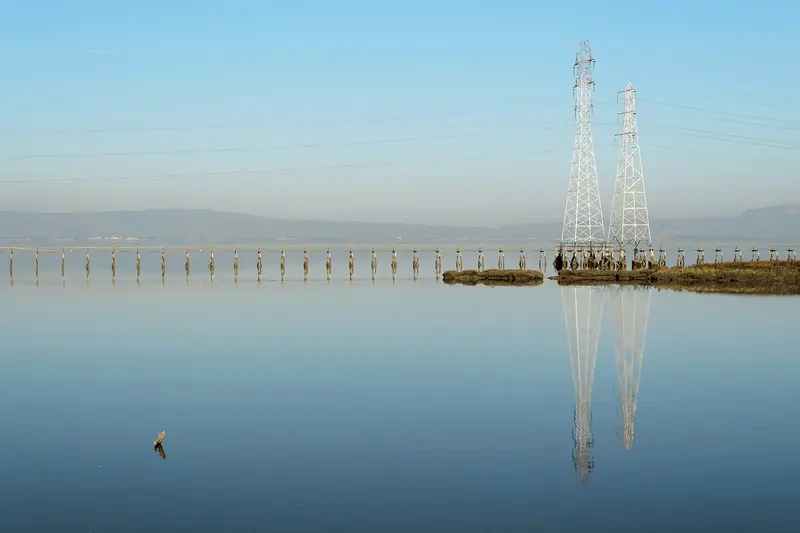

Shoreline Lake in Mountain View
For rentals, lessons and calm water, the go-to spot is Shoreline Lake, about a ten-minute drive south of the Baylands in Shoreline Park. The Shoreline Lake Boathouse sits at 3160 North Shoreline Boulevard.
The lake
Shoreline Lake is a man-made, 50-acre saltwater lake filled with water pumped in from the bay. It is about 25 feet deep at its deepest point and warmer than the bay, in the 50s in winter and the 70s in summer. Mornings bring light winds that suit beginners. In the afternoon winds of up to 25 miles per hour blow across the lake and the experienced sailors and windsurfers come out.
Rentals and lessons
The boathouse rents pedal boats, rowboats, kayaks, sailboats, stand-up paddleboards, bicycles and more, with online booking. It teaches sailing, windsurfing, wingfoiling, kayaking, stand-up paddleboarding and SUP yoga, plus kids' camps and private lessons. Sailing racing, outrigger and kayak polo clubs are based on the lake too.
Practical details
- The boathouse is open seven days a week. Last rentals start one hour before closing. Check the website for current hours and holiday closures.
- Parking is free and first come, first served.
- No pets are allowed anywhere in Shoreline Park, even inside a car.
- The lakeside American Bistro was closed for remodeling in late 2026. The boathouse espresso bar and snacks stayed open.
Our Mountain View guide covers the rest of the city and our golf guide covers Shoreline Golf Links next door.
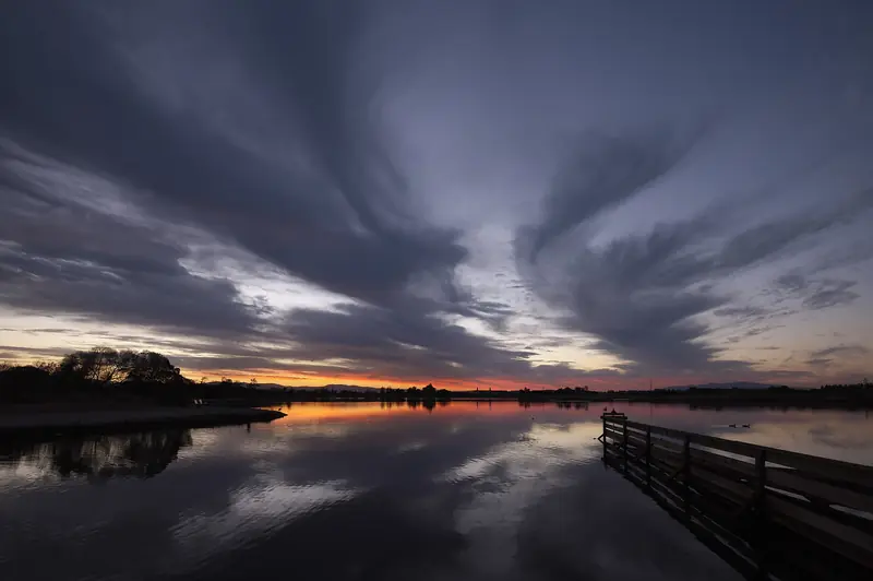

Boronda Lake at Foothills Nature Preserve
For a short, sheltered paddle among the oaks, Boronda Lake in Foothills Nature Preserve allows hand-launched boats without motors, such as canoes and kayaks, as long as everyone wears a life jacket. Inner tubes and inflatable rafts are not allowed and swimming and wading are prohibited. The lake closes 30 minutes before the park and the preserve's vehicle fee and visitor cap apply. There are no rentals, so bring your own.
Safety on the bay
Good to know
- Wear a life jacket. Bay water is cold even in summer. California law requires children under 13 to wear one on most moving boats.
- Watch the wind. The Baylands can be very windy in the afternoon. Paddle in the morning and stay close to shore.
- Carry a map. The sloughs look alike from water level and it is easy to get turned around.
- Never walk on the mud. Bay mud can trap you. Stay in your boat or on firm ground.
- Tell someone your plan and your expected return time and carry a phone in a dry bag.
If you want a guided trip with rental gear included, the calm waters of Elkhorn Slough and Monterey Bay are a classic day trip. See our Monterey and Carmel guide. Check our weather guide before any paddle, since fog and wind can change a plan quickly.
Frequently asked questions
Where can I launch a kayak in Palo Alto?
At the Palo Alto Baylands, where Embarcadero Road ends at a boarding pier with a gangway down to a floating dock. The Bay Water Trail lists it as a launch site with free parking during preserve hours. Timing matters, because the channel becomes mud near low tide.
Can I rent a kayak in Palo Alto?
The closest rentals are at Shoreline Lake in Mountain View, a few minutes south. The boathouse rents pedal boats, rowboats, kayaks, sailboats, stand-up paddleboards and more and offers lessons. Book online and check the posted hours, since the last rentals start an hour before closing.
What happened to the Palo Alto Yacht Harbor?
The harbor kept silting up and needed regular dredging and dumping the dredged mud damaged the surrounding marsh. In 1980 voters rejected a measure to keep dredging and in 1985 they rejected a plan for boaters to dredge it themselves. The boats left in 1986 and the harbor returned to marsh.
When is the best time to kayak from the Palo Alto Baylands?
Plan your trip around high tide and be back well before low tide. The Bay Water Trail advises returning at least three hours before low tide. Mornings are also calmer, since the wind usually builds in the afternoon.
Is Shoreline Lake good for beginners?
Yes. It is a man-made, enclosed saltwater lake with light winds in the morning, which makes it a good place to learn. Afternoons can bring winds up to about 25 miles per hour, which suits experienced sailors and windsurfers better than new paddlers.