On this page
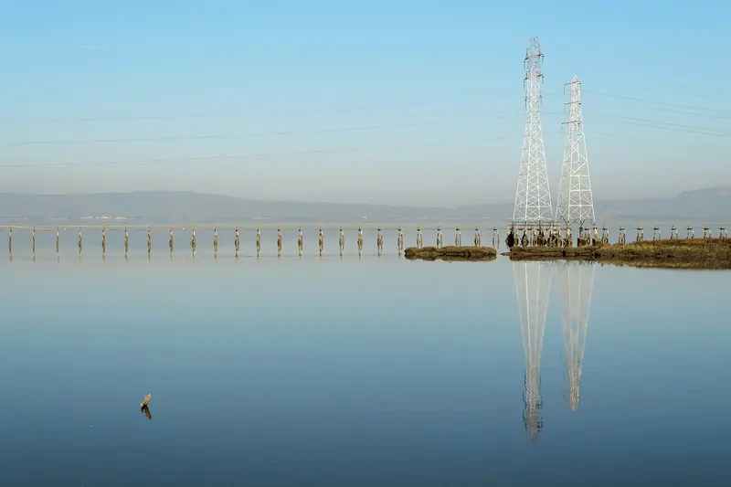
December is Palo Alto's winter in miniature. The days are the shortest of the year, nights are the coldest and storms roll in from the Pacific every week or so. Between them come crisp, brilliant days with snow-white clouds over green hills and frost on every windshield at dawn. It is rarely bitterly cold and never as gray for as long as places farther north.
The figures on this page are NOAA's 1991 to 2020 climate normals for the Palo Alto station (USC00046646) on the flats at about 25 feet. NOAA calls the station's values "representative" because of gaps in its record, so read small differences as approximate. Sun times are calculated for central Palo Alto for December 2026 and match published tables within a minute. This is a typical December, not a forecast. See our weather guide for every month.
December by the numbers
| Measure | December in Palo Alto |
|---|---|
| Average high | 57.6°F |
| Average low | 38.6°F |
| Average rainfall | 2.95 inches |
| Middle half of years | 1.45 to 4.52 inches |
| Days with 0.01 inch of rain or more | 9.7 |
| Days with 0.10 inch or more | 6.8 |
| Days at 90°F or hotter | 0.0 |
| Nights at 32°F or colder | 5.9 |
| Sunrise | 7:04 to 7:23 a.m. |
| Sunset | 4:50 to 5:01 p.m. |
| Daylight | 9 h 46 min to 9 h 35 min at the solstice |
| Ocean water, San Francisco buoy | 54.4°F |
The ocean row is NOAA's long term average for its buoy about 18 nautical miles west of San Francisco. NOAA does not publish a Half Moon Bay sea temperature.
The coldest nights
December's average low of 38.6°F is the coldest of the year, a shade below January's 39.0°F. The Palo Alto station also averages the most freezing nights, about 5.9 at 32°F or below. Afternoons average 57.6°F, so a clear day still feels pleasant in the sun.
The cold comes from long nights, not from arctic air. After a storm clears, the sky is clean, the air is still and the ground loses heat for 14 hours. Cold air slides off the foothills and collects on the flats. By dawn, lawns and roofs are white and car windows need scraping. Protect frost tender plants, cover outdoor pipes on the coldest nights and watch for slick wooden bridges early in the day.
When Santa Clara County issues a cold weather alert, the city opens overnight warming locations. Our rain and storm season guide lists the sites the city has used.
Rain: winter storms
December averages 2.95 inches, tied with January behind February. About 10 days bring measurable rain and about 7 bring a tenth of an inch or more. The median is 2.12 inches, well below the average, which means a few very wet Decembers lift the mean. In one December out of four the station records less than 1.45 inches. In one out of four it gets more than 4.52.
The wettest Decembers bring atmospheric rivers. On December 31, 2022, a strong one pushed San Francisquito Creek over its banks near the Pope-Chaucer Bridge, the creek's highest flow since the 1998 flood. The city runs sandbag stations through the season and posts live creek readings during storms.
The shortest days
December has the least daylight of the year. Day length falls from about 9 hours 46 minutes on December 1 to about 9 hours 35 minutes at the solstice on December 21. The earliest sunsets, about 4:50 p.m., come in the first half of the month, not on the solstice. Sunrise keeps getting later all month, from about 7:04 a.m. to about 7:23 a.m. It does not start moving earlier until early January.
Stanford posts December hours of 6:30 a.m. to 5 p.m. for the Dish. City preserves close at sunset. Start hikes by early afternoon and carry a light if you might finish late.
Fog, frost and air quality
Valley fog
December and January are the main months for radiation fog in Palo Alto. On calm mornings after rain, shallow fog forms over the marshes, the bay flats and Highway 101. It usually burns off by late morning. Farther inland, the Central Valley gets thick tule fog that can last for days, which matters if you drive toward Sacramento or the Sierra.
Wood smoke and Spare the Air
December is peak season for wood smoke. On cold, still nights an inversion traps fireplace smoke near the ground and fine particle levels can climb, especially in the evening. The Air District calls winter Spare the Air alerts when it forecasts unhealthy air. Burning wood is then illegal everywhere in the Bay Area. Holiday weekends are common alert days. Check sparetheair.org before lighting a fire. Our air quality guide explains the rules.
Wildfire smoke is rare in December once the rains have started, though a dry, windy start to winter can extend fire season.
Microclimates in December
The bay keeps its edge warmer. Moffett Field, on the shoreline in Mountain View, averages a December low of 42.1°F, three and a half degrees milder than the Palo Alto station. It averages only 0.9 freezing nights against 5.9. Neighborhoods closest to the marsh see less frost but more fog.
Stanford and the neighborhoods west of El Camino Real sit slightly higher and drain cold air a bit better than the lowest flats, but frost still covers campus fields on clear mornings. The foothills can sit above a shallow fog layer in bright sun on a morning when downtown is gray.
On Skyline Boulevard, above 2,000 feet, storms bring heavy rain, wind and occasional hail. A cold storm can leave a dusting of snow on the highest Bay Area peaks every few winters. Real snow is a drive away in the Sierra Nevada.

How December compares with San Francisco and San Jose
| December normal | Avg high | Avg low | Rain (in) | Rainy days |
|---|---|---|---|---|
| Palo Alto | 57.6°F | 38.6°F | 2.95 | 9.7 |
| San Francisco downtown | 57.9°F | 47.0°F | 4.76 | 11.6 |
| San Jose | 59.5°F | 41.7°F | 2.29 | 9.5 |
| Moffett Field | 58.9°F | 42.1°F | 2.51 | 10.5 |
December afternoons are within two degrees across the three cities. Palo Alto averages 57.6°F, downtown San Francisco 57.9°F and San Jose 59.5°F. Nights tell the real story: San Francisco averages a low of 47.0°F, more than eight degrees warmer than Palo Alto, because it is surrounded by water.
San Francisco is also much wetter, averaging 4.76 inches in December. San Jose, deep in the rain shadow, averages 2.29. Palo Alto is in between at 2.95.
The coast in December
NOAA's buoy west of San Francisco averages 54.4°F in December and the Monterey buoy 55.2°F. There is no long term Half Moon Bay figure. Inside the bay, NOAA's Redwood City reading averages 53.2°F, now colder than the open ocean. Big winter swells and king tides make the shoreline dramatic. Stay well back from the surf.
December starts the gray whale migration south along the coast. It is also the start of the elephant seal breeding season at Año Nuevo, where guided walks begin December 15.
What to pack for December
- A warm, waterproof jacket. Rain and nights in the 30s call for both.
- A hat, gloves and a scarf for early mornings and evenings outdoors.
- Waterproof shoes with good grip.
- Layers. Sunny afternoons near 60°F can feel warm.
- Chains or an all-wheel-drive car if you plan to drive to the Sierra.
What December weather is good for
Crisp air, long nights and green hills give December its own appeal. Our December trip guide covers holiday events and closures. Weather-driven ideas:
- Stargazing. Long, clear nights after storms bring sharp skies. The Geminids peak around December 13 and 14. See our stargazing guide.
- Holiday lights. Early sunsets mean the lights come on before dinner. Our holiday lights guide lists the best displays.
- Snow trips. The Sierra is a long drive away. Our Lake Tahoe guide covers the trip. If you would rather not drive mountain roads in winter, you can book a guided day tour.
- Rainy day plans. Keep a museum or a movie in reserve for storm days.
Check the National Weather Service Bay Area office before outdoor plans. December storms are usually well forecast a few days ahead.
Frequently asked questions
How cold does Palo Alto get in December?
NOAA's 1991 to 2020 normals give the Palo Alto station an average December low of 38.6°F, the coldest of the year. The average high is 57.6°F. About 5.9 nights in a typical December reach 32°F or colder. Snow in town is extremely rare.
Does it rain a lot in Palo Alto in December?
December averages 2.95 inches over about 10 days with measurable rain, tied with January as the second wettest month after February. Totals vary widely from year to year, from under 1.45 inches in a dry quarter of years to more than 4.52 in a wet quarter.
What time does the sun set in Palo Alto in December?
The earliest sunsets of the year, about 4:50 p.m., come in the first half of December. By December 31 sunset is back to about 5:01 p.m. Sunrise moves from about 7:04 a.m. to about 7:23 a.m.
Is December colder in Palo Alto or San Francisco?
Afternoons are about the same, near 58°F in both. Nights are much colder in Palo Alto, averaging 38.6°F against 47.0°F in downtown San Francisco. San Francisco gets more rain, about 4.76 inches.
Can I have a fire in my fireplace in December?
Only on days without a Spare the Air Alert. The Bay Area Air District's winter season runs from November through February. Burning wood is illegal anywhere in the Bay Area while an alert is in effect. Check sparetheair.org or call 1-877-4NO-BURN.