On this page
Arastradero Road is the most direct way from Palo Alto's flat streets into the hills. Within a couple of miles of Gunn High School it leaves the houses behind and climbs through open grassland past Pearson-Arastradero Preserve, then crosses Interstate 280 and dips into the oak woods of Portola Valley. Turn back toward Stanford on Alpine Road and you have a compact loop with real hills, a famous roadhouse at the halfway point and a long, easy run home past the Dish.
This page describes the loop from California Avenue station. It shares its first half with the longer Portola Valley Loop, so it makes a natural warm-up for that ride. For an overview of riding in town, see our biking guide.
The ride at a glance
We measured the route on OpenStreetMap with a cycling router and sampled U.S. Geological Survey elevation data along it. The result is about 15 miles with roughly 700 to 800 feet of climbing. Treat both numbers as estimates. Barometric bike computers often read a little higher on rolling roads.
| Section | What it is like | Approximate distance |
|---|---|---|
| Cal Ave to Arastradero Road | Flat, quiet streets and the car-free Bol Park path | About 2.5 miles |
| Arastradero Road to Alpine Road | The climbing: rolling, then a ridge with short steep pitches | About 4.5 miles |
| Alpine Road to Junipero Serra | Mostly downhill along San Francisquito Creek | About 4.5 miles |
| Junipero Serra and Stanford Avenue home | Gentle rollers beside the Dish, then flat | About 3.5 miles |
Start and parking
Caltrain is the easy way in. Leave California Avenue station on the west side, where Park Boulevard runs south. If you drive, the free lots around California Avenue are usually open on weekend mornings.
You can also start at the preserve lot at 1530 Arastradero Road. The city opens the preserve from 8 a.m. to sunset, with last entry 30 minutes before the posted closing time. Gates lock at closing. If you leave a car there for a ride, make sure you are back before the gate shuts.
Turn by turn
- Park Boulevard and Barron Park. Ride south on Park Boulevard, then work through Barron Park's quiet streets to the Bol Park path. Our Bol Park page shows where it starts.
- Bol Park path. Follow the paved path past the donkey pasture to its end at Arastradero Road near Gunn High School.
- Arastradero Road west. Turn right. Cross Foothill Expressway at the signal and climb gently past the preserve entrance.
- The Page Mill jog. At Page Mill Road, turn right for about 0.3 mile, then turn left back onto Arastradero. Use the turn pockets and signal early.
- The ridge. Arastradero crosses Interstate 280 and climbs over the last ridge, the steepest part of the ride. Then it drops to Alpine Road.
- Alpine Road east. Turn right at the Alpine Inn. Alpine Road runs mostly downhill past Ladera, crosses Interstate 280 at an interchange and passes Stanford Weekend Acres.
- Junipero Serra Boulevard. Where Alpine meets Junipero Serra Boulevard and Santa Cruz Avenue, turn right onto Junipero Serra. It rolls along the foot of the Dish on the Stanford Perimeter Trail.
- Stanford Avenue home. Turn left onto Stanford Avenue, which has green bike lanes, cross El Camino Real and ride the last few blocks back to the station.
Surface and traffic
Every road on the loop is paved. The traffic is the thing to plan around:
- Arastradero near Gunn is busy at school times on weekdays. On weekends it is a steady flow of cars heading to and from the freeway.
- The Page Mill jog is short but fast. Wait for a clean gap rather than squeezing across.
- The ridge west of Interstate 280 has narrow shoulders in places and drivers coming over a blind crest. Hold a straight line on the climb.
- Alpine Road at Interstate 280 has on-ramps and off-ramps where cars cross the bike lane. Look behind you before every ramp.
- Junipero Serra Boulevard has a 10-foot asphalt trail beside the road for much of its length, built as part of the Stanford Perimeter Trail. Slower riders can use it, but it is shared with walkers and runners.

The dirt option through the preserve
On a gravel or mountain bike, you can swap part of the road climb for the trails of Pearson-Arastradero Preserve. The city requires a helmet for every rider on its preserve trails, whatever the age. Bikers yield to hikers and always yield to horses. Groups should not block the trail. Stay on marked trails.
Three trails close in wet weather: the Bowl Loop, Woodrat and Wild Rye trails shut when rain passes half an inch in 24 hours or an inch in 7 days. The city's alerts page showed them open when it was last updated in September 2026, but with the rainy season starting, check it on the morning of your ride. Our mountain biking guide covers other dirt rides nearby.
Water, restrooms and the Alpine Inn
The halfway stop is Rossotti's Alpine Inn at 3915 Alpine Road, right at the corner where you turn. It is a beer garden and tavern on Los Trancos Creek with picnic tables outside. Its website lists the beer garden as closed on Monday, open from 11:30 a.m. Tuesday to Friday and from 10:30 a.m. on Saturday and Sunday, with brunch on weekends until 2:30 p.m. It takes no reservations. On an early ride, it will not be open yet, so plan to come through after it opens or carry food.
For water and restrooms, the city's preserve map marks both at the Pearson-Arastradero lot. We could not find a 2026 city page that describes them, so carry enough water to finish without them. Bring two bottles in summer. There are no taps along Junipero Serra Boulevard. The Dish trail itself is closed to bikes.
Closures we checked
- Page Fire area. The city closed about 4.1 acres of the burn scar in Pearson-Arastradero Preserve from June 22, 2026 through June 30, 2027. The city says trails and fire roads are not affected.
- Seasonal trails. The Bowl Loop, Woodrat and Wild Rye trails follow the rain rule above. They were listed as open in the city's September 2026 update.
- Foothills Nature Preserve. Not on this loop, but nearby: the western side of the Fern Loop Trail is closed for a bridge replacement through the 2026 to 2027 winter, according to the city.
- Roads. We found no posted closures on Arastradero Road, Alpine Road, Junipero Serra Boulevard or Stanford Avenue in early November 2026.
Safety
Good to know
- Passing law: California requires drivers to give cyclists at least 3 feet when passing. You still need to ride where drivers expect you.
- Lights: after dark the law requires a white front light and a red rear reflector. A rear light by day helps on the shaded stretch of Alpine Road.
- Helmets: the law requires them for riders under 18; the city requires them for everyone on preserve trails.
- Descending Alpine: it is gentle, but speeds build. Watch for cars turning into driveways in Ladera.
Seasons
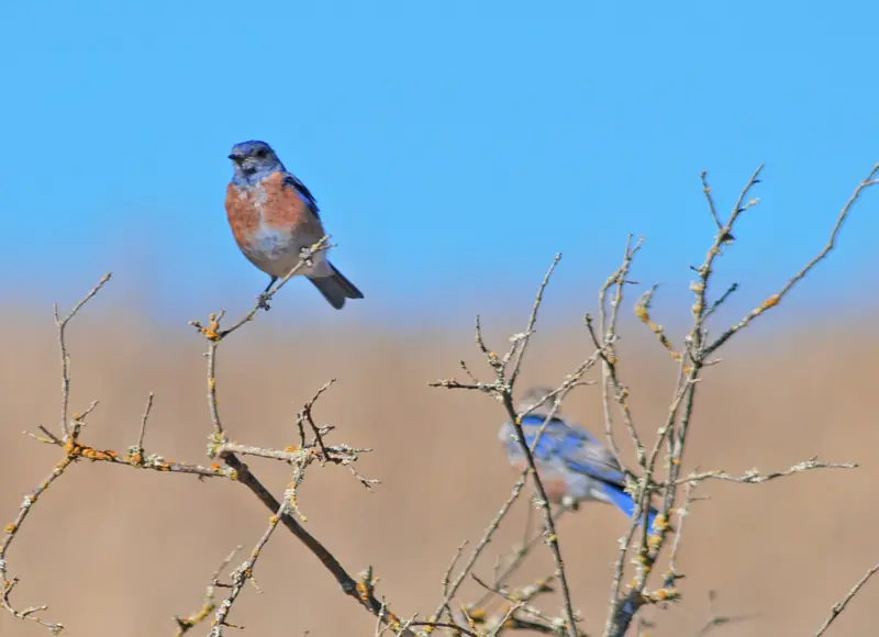
Spring is the high point, when the preserve's grassland turns green and the bluebirds nest. Summer afternoons on the open ridge can be hot, with little shade until Alpine Road, so ride early. Fall is usually dry and clear. Winter brings rain from November to March, mud on the preserve trails and early darkness. After daylight saving time ended on November 1, 2026, sunset came before 5 p.m. by mid-November. For a longer ride on the same roads, carry on to Portola Road and the full Loop, or follow Alpine Road uphill instead of down.
Frequently asked questions
How long is the Arastradero loop?
Our estimate is about 15 miles from California Avenue station and back, with roughly 700 to 800 feet of climbing. Most of the climbing comes on Arastradero Road between Foothill Expressway and Alpine Road. The figures are approximate and depend on your exact start.
Can you ride a bike in Pearson-Arastradero Preserve?
Yes, on designated trails with a helmet, which the city requires on its preserve trails. Bikers yield to hikers and always to horses. The Bowl Loop, Woodrat and Wild Rye trails close after heavy rain, when the city's thresholds of half an inch in 24 hours or an inch in 7 days are passed.
Is the Arastradero loop safe for new road riders?
It is one of the gentler hill rides near Palo Alto, but it still uses busy roads. The short jog on Page Mill Road and the Interstate 280 interchange on Alpine Road need care. Ride it on a weekend morning first, when traffic is lighter.
Where can I stop for food on the Arastradero loop?
Rossotti's Alpine Inn sits right at the corner of Arastradero and Alpine roads. Its website lists the beer garden as open from 11:30 a.m. Tuesday to Friday and from 10:30 a.m. on weekends, with weekend brunch until 2:30 p.m. It is closed on Mondays and takes no reservations.
Can I take Caltrain to the Arastradero loop?
Yes. Start and finish at California Avenue station, which is about 2.5 miles from Arastradero Road by way of Barron Park and the Bol Park path. Caltrain's electric trains have two bike cars.