On this page
Downtown North is the residential half of downtown Palo Alto. It starts a block north of University Avenue and runs to San Francisquito Creek, the county line. The city's namesake redwood grows at one corner. Its oldest water tower stands at another. In between are blocks of small cottages and two-story houses from the town's first decades, many of them on the city's Historic Inventory, plus a park that replaced a whole block of houses in the late 1960s.
This walk strings those places together in a logical order. Our Downtown North neighborhood guide covers schools, parking and housing. This page is about what you can see from the sidewalk, stop by stop.
Before you go
The route runs about 2 miles one way and takes 1 to 1.5 hours. Both figures are our own estimates from the street grid. It starts on the platform side of the Palo Alto Caltrain station and finishes on Lytton Avenue, a short walk from University Avenue. Our Caltrain guide covers tickets and timetables if you are arriving by train.
- Parking: Much of Downtown North is under the city's residential permit program. Visitors can park for the posted time limit or use a downtown garage.
- Time of day: Mornings are quiet. Late afternoon light is good at the creek and under the redwood.
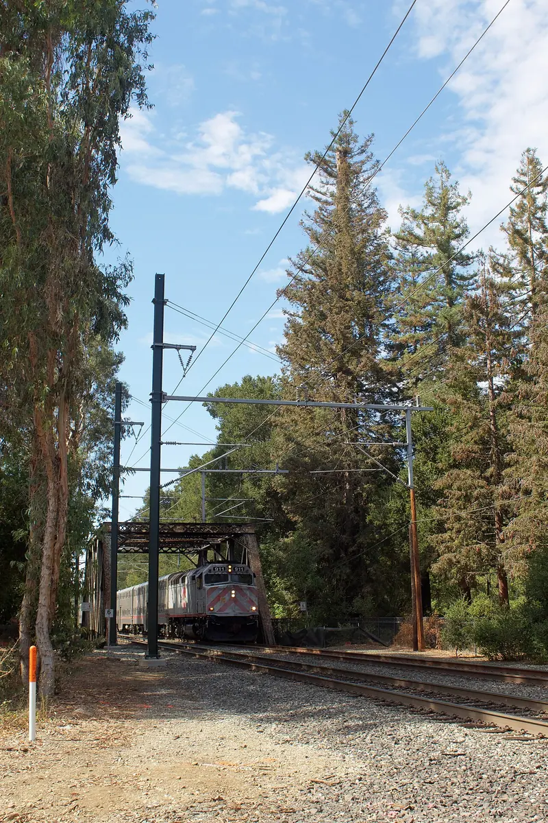
- Train noise: The first stops are beside the tracks. Expect bells and horns near Alma Street and Palo Alto Avenue.
The route, stop by stop
- Palo Alto Caltrain station, 95 University Avenue. Leave the station on the downtown side and head north along Alma Street. The tracks stay on your left for the first half mile.
- The Tower Well, Alma Street at Hawthorne Avenue. This 78-foot reinforced concrete cylinder went up in 1910 and held a 155,000-gallon tank. It stored the town's water and protected nearby buildings in case of fire. The city owned its water system from 1896, one of the early American towns to do so. By the late 1980s Palo Alto relied on Hetch Hetchy water and the tower stood empty. The council weighed turning it into a house and a day care center, then chose to keep it as built. Read the panels and look for the native plantings around its base.
- Emerson Street, 200 block. Turn right on Hawthorne for one block and glance down Emerson. The house at 225 Emerson is rated Category 2 on the city's Historic Inventory, a "Major Building" of regional importance. On High Street, 212 High is a Category 3 contributor.
- El Palo Alto Park, Palo Alto Avenue at Alma Street. Return to Alma and continue to its end. The coast redwood here is more than 1,000 years old and roughly 110 feet tall by a 2021 measurement. Spanish explorers with Gaspar de Portolá camped nearby from November 6 to 11, 1769. The tree gave the town its name. Find the bronze plaque the Native Sons of the Golden West set in a granite boulder on November 7, 1926, near the south end of the footbridge to Menlo Park. A 2001 San Francisquito Creek Watershed marker stands in the same small park. Our El Palo Alto guide tells the tree's story.
- The Palo Alto Avenue rail crossing. Look back toward the tracks. Trains cross Palo Alto Avenue at street level here, one of the few level crossings left in the city. Wait for the gates and never cut across.
- Hopkins Creekside Park. Walk east along Palo Alto Avenue. The strip of lawn and trees between the street and the creek fence is the city's Timothy Hopkins Creekside Park, about 12.4 acres and up to 200 feet wide. Most accounts say Hopkins and his wife gave the land in 1907. The 2001 marker you just passed says he left it to the city at his death in 1936. Either way, the strip keeps a green buffer between houses and a creek that flooded the north side in 1998. Look for valley oaks and California buckeyes along the path. Our Hopkins Creekside Park page has the details.
- Bryant Street at Palo Alto Avenue. This corner is the north end of the Ellen Fletcher Bicycle Boulevard, named in 2002 for the council member who pushed for it. Turn south on Bryant. The house at 119 Bryant is rated Category 2. A block on, 215 Bryant is a Category 3 contributor.
- Everett Avenue. Turn east on Everett. The houses at 412 and 560 Everett are Category 3 on the inventory. Farther along, 657, 751, 758 and 761 Everett are listed in Category 4. Compare the one-story cottages with the boxier two-story houses as you go.
- Johnson Park, 268 Waverley Street. The city bought this whole block, bounded by Waverley, Kipling, Everett and Hawthorne, in 1968 and later cleared the houses on it. It was called Downtown Park North until 1986, when it was renamed for Dr. Edith Eugenie Johnson. She practiced medicine in Palo Alto from 1907 into the 1960s and delivered more than 3,500 babies, according to the city. Her home and office stood one block away. The 2.5-acre park has a playground, a basketball court and community garden plots. Across Kipling, 249 Kipling is a Category 3 house.
- Hawthorne Avenue and Byron Street. Walk east on Hawthorne. The house at 575 Hawthorne is Category 2 and 381 Hawthorne, back toward Alma, is Category 3. At Byron Street turn north for 228 Byron and 175 Byron, both rated Category 2. Tasso Street, one block west, has 181 Tasso in Category 3.
- Lytton Avenue and Lytton Gardens. Head south to Lytton Avenue. Lytton Gardens at 656 Lytton provides affordable housing for older adults. Half a block past Lytton on Tasso, 425 Tasso is another Category 2 house. On Lytton itself the inventory lists 555 and 851 Lytton in Category 3.
- Kipling Street, 400 block. Finish with the densest cluster on the route. Between Lytton and University, 421 to 423 and 430 Kipling are Category 3 and 405, 411, 431 to 433 and 443 Kipling are Category 4. Then walk west on Lytton for coffee.

Coffee at the finish
Mademoiselle Colette, a French bakery cafe at 499 Lytton Avenue, is the easiest stop at the end of the walk. Its website listed Palo Alto hours of 8 a.m. to 4 p.m. Monday to Saturday and 8 a.m. to 1 p.m. on Sunday in late October 2026, along with Thanksgiving preorders. Check the bakery's site before you go. University Avenue is two blocks south if you want more choice. Our coffee guide lists the downtown cafes.
Reading the houses
Downtown North grew as the working side of the young town while professors built shingled houses south of University Avenue. The city's historic survey update of 1997 to 2001 sorted many of north Palo Alto's early homes into two simple types. Both are easy to spot on this route:
- Square cottages from the 1890s and 1900s. One story, often with a hipped roof and a small porch, in Queen Anne, Colonial Revival or bungalow dress.
- Two-story square boxes from the same years. Houses, flats and small apartments in Craftsman, Colonial Revival, Renaissance and Prairie styles.
Many of these were already on the city's first Historic Inventory in 1979. The categories you see above come from that list. Category 2 marks a "Major Building" of regional importance. Categories 3 and 4 mark "Contributing Buildings" that are good local examples of a style. The city's historic registers page links to the full list. Our historic homes guide explains what the ratings mean for owners.
Notice the gaps as well. Apartment buildings from the 1950s to the 1970s sit between the cottages. A few houses have been rebuilt. That mix is what makes Downtown North look different from the more uniform blocks of Professorville.
Accessibility notes
- The whole route is on flat ground. There are no stairs on the main line.
- Sidewalks are continuous on most blocks but narrow in places and lifted by tree roots on some older streets. Use the street edge with care where a sidewalk is blocked.
- Paths inside Hopkins Creekside Park are informal. If they are muddy after rain, stay on the Palo Alto Avenue side.
- The city lists no restrooms at Johnson Park or the creekside park. Plan stops at the station area or downtown.
- Benches are at the Tower Well and in Johnson Park.
Sidewalk etiquette
Good to know
- Every house named on this page is a private home. Stay on the public sidewalk and do not walk up driveways or onto porches.
- Photos from the sidewalk are fine. Do not photograph residents or into windows.
- Keep back from the creek banks. They are steep and the water rises fast in winter storms.
- Bryant Street is a busy bike route. Look both ways before stepping off the curb.
Shorter and longer versions
Thirty minutes. Walk from the station to the Tower Well and El Palo Alto, then return the same way. That covers the two landmarks with plaques.
Add downtown. Our downtown architecture walking tour starts at the same station and covers the commercial blocks of University Avenue and Ramona Street.
Keep going east. Cross Middlefield Road at Lytton or Hawthorne and pick up our Crescent Park walking tour, which follows the same creek past the Squire House and the Green Gables Eichlers.
Sources
Inventory categories come from the City of Palo Alto's Historic Inventory list. The house types come from the city's summary of its 1997 to 2001 historic survey update. Tower Well details follow city utility history. Plaque dates come from the Historical Marker Database and our landmark pages. Distances are our estimates. If a plaque or sign on site differs from this page, trust the plaque.
Frequently asked questions
How long is the Downtown North walking tour?
By our estimate the route is about 2 miles from the Palo Alto Caltrain station to Lytton Avenue. Most people need 1 to 1.5 hours with time to read the plaques at El Palo Alto and the Tower Well. The streets are flat.
Can you see El Palo Alto up close?
Yes. The redwood stands in El Palo Alto Park at the end of Palo Alto Avenue near Alma Street. The park is free and open daily. A 1926 bronze plaque from the Native Sons of the Golden West sits in a granite boulder near the footbridge to Menlo Park.
What is the Tower Well in Palo Alto?
It is a 78-foot reinforced concrete water tower built in 1910 at Alma Street and Hawthorne Avenue. It held a 155,000-gallon tank for the young city's water system. It no longer stores water and now stands among native plants with benches and information panels.
Are there restrooms on the Downtown North walk?
The city lists no restrooms at Johnson Park or Hopkins Creekside Park. Use the cafes and public buildings downtown before you start or at the finish on Lytton Avenue.
Is the Downtown North walk good for kids?
It works well with children. Johnson Park has a playground and basketball court in the middle of the route. The creekside strip has shade and room to wander, but keep children back from the creek banks, which are steep.